


Book details
Further Details
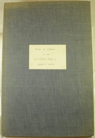
Described as “Revised to 1939”, but with no publication date. Lacks a title page; starts at page 1, Preface. A relatively modern re-casing, grey cloth-covered boards, hand-written paper label to front board. From pages 2 to 100 there are full or double page index maps for each county of England and Wales; amongst these are indexes supplied as folding maps, in which case the page is not numbered (and the page is additional to the numbered sequence). Other related material laid in: an index map of the 10,000 metre grid of England and Wales; index for the 1 inch to 1 mile ‘New Popular Edition’; Combined Index Shewing Civil Parishes and the Ordnance Survey maps of Somerset on the 6-inch and 25-inch Scales; Combined Index Shewing Civil Parishes and the Ordnance Survey maps of Dorset on the 6-inch and 25-inch Scales; various related photocopies. Condition: Boards a little bumped and faded, contents in excellent condition.