Book details
Further Details
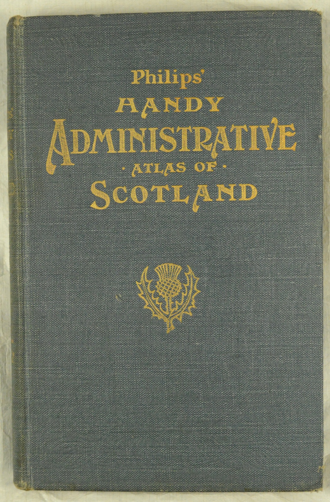
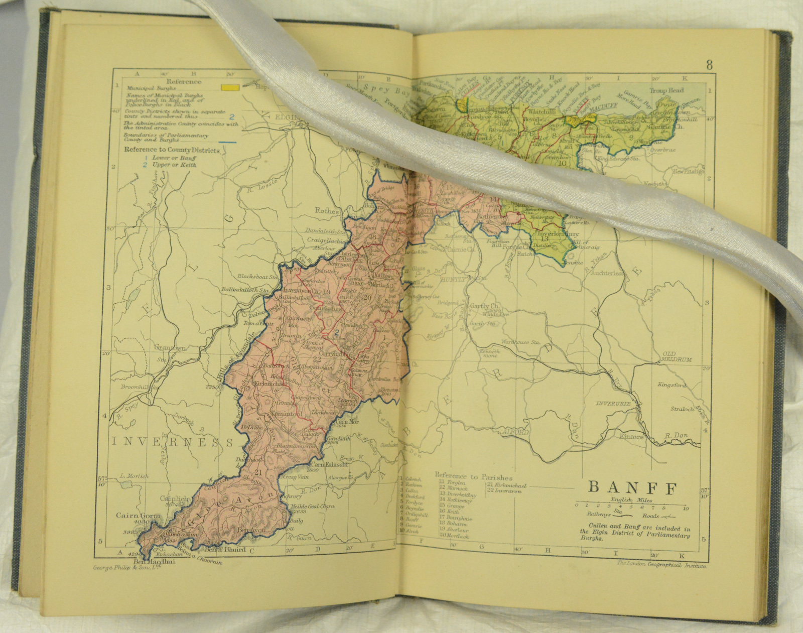
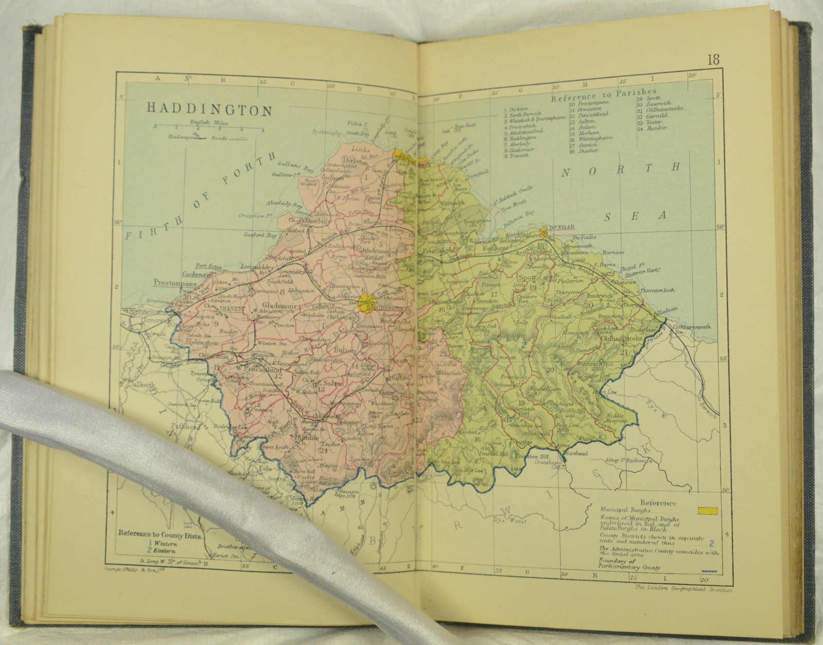
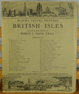
Blind stamped light blue cloth-covered boards, gilt titles and motif to front board, gilt titles to spine.; 37 maps in all including two railway maps. “A series of detailed County Maps showing Local Government and Parliamentary divisions. With lists of Royal and Municipal Bouroughs, County Dstricts, Parliamentary Burghs and Divisions, and Consulting Index”. US Library of Congress entry 8212, which gives a date of 1911. The railway routes shown confirm a date between 1903 and 1922, and the lack of the village of Leverburgh on Harris helps with dating. Condition: Boards rubbed and age-darkened, some soiling to spine, but overall, binding sound; maps in excellent condition.

