Book details
Further Details
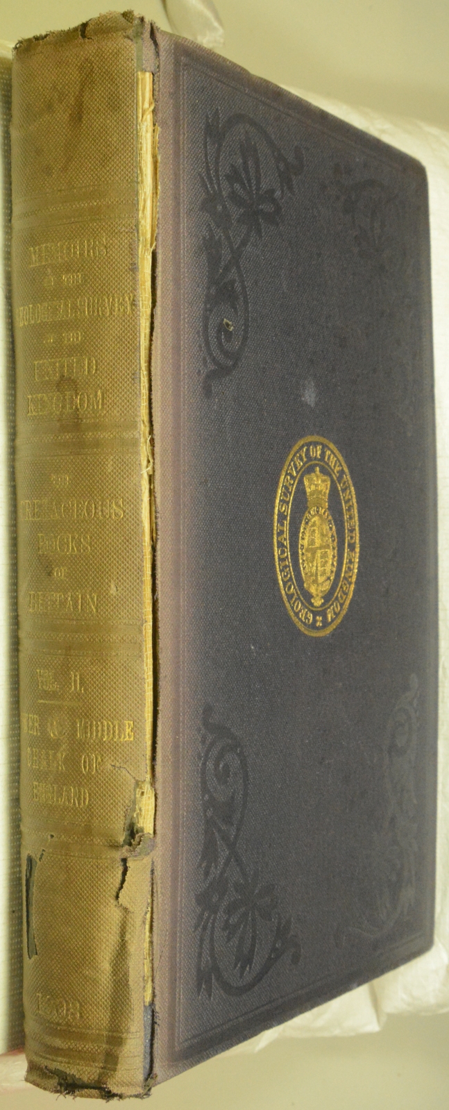
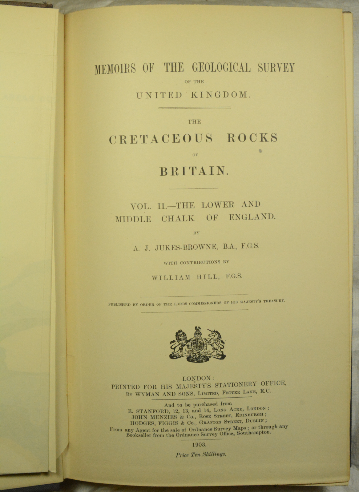
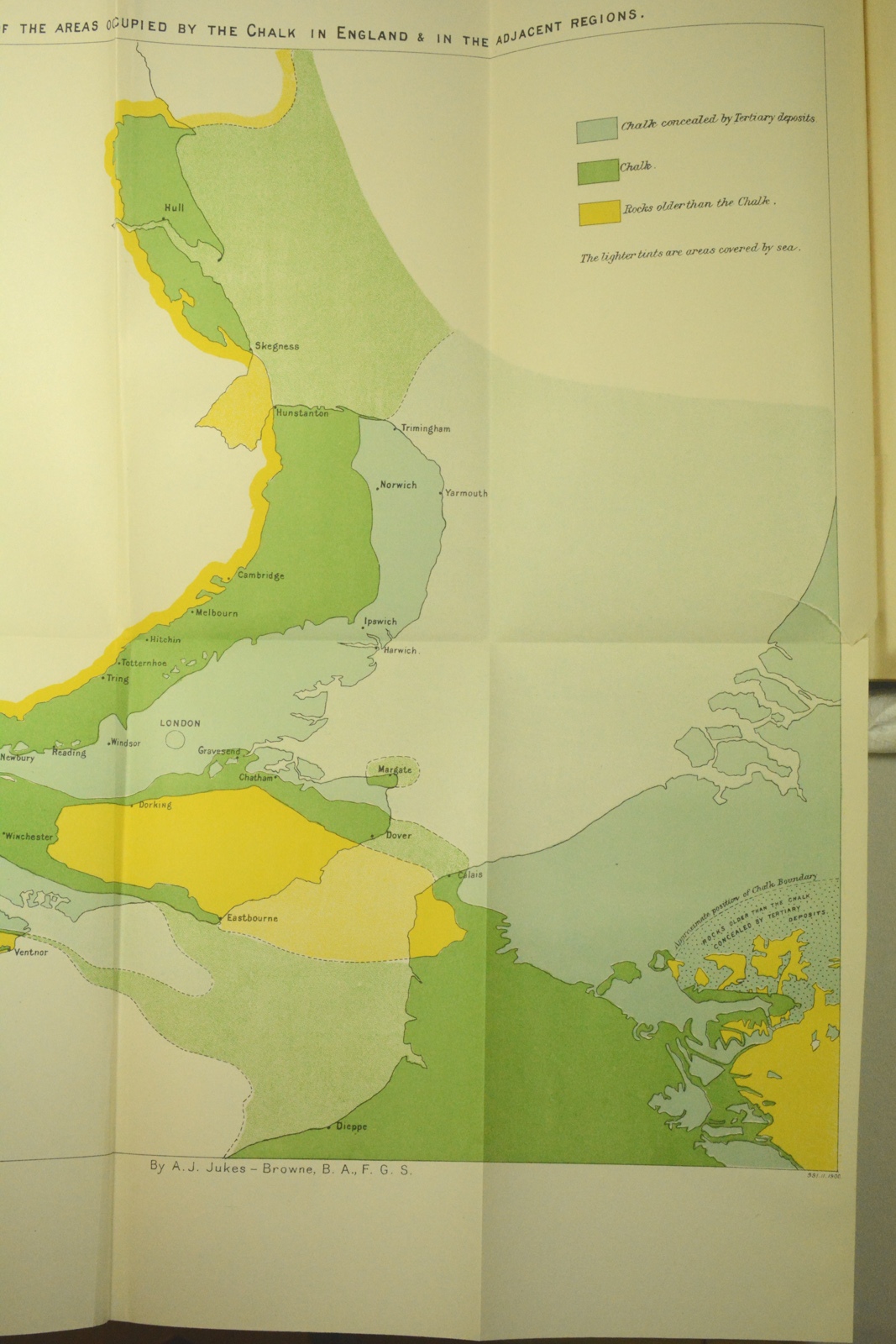
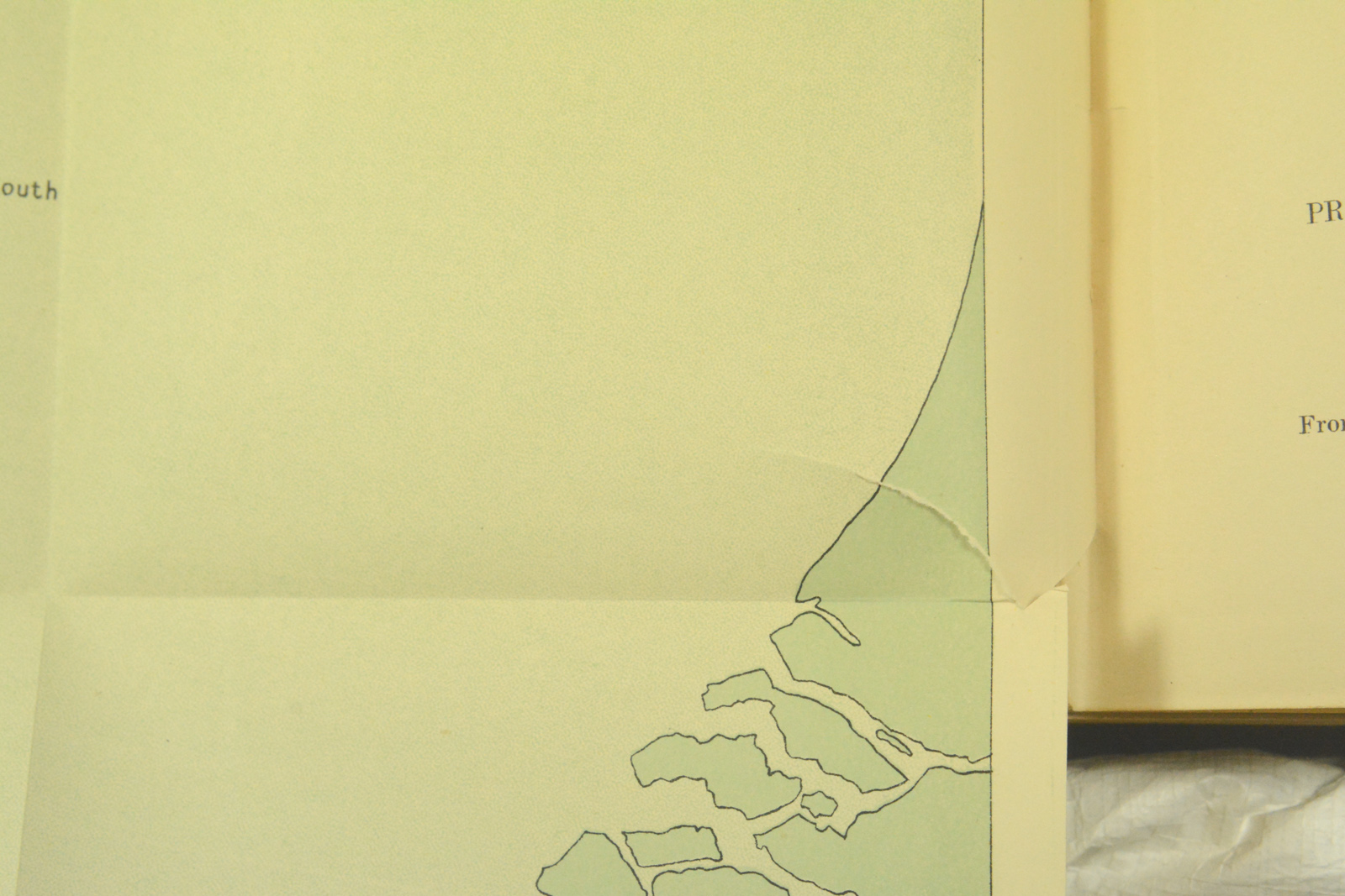
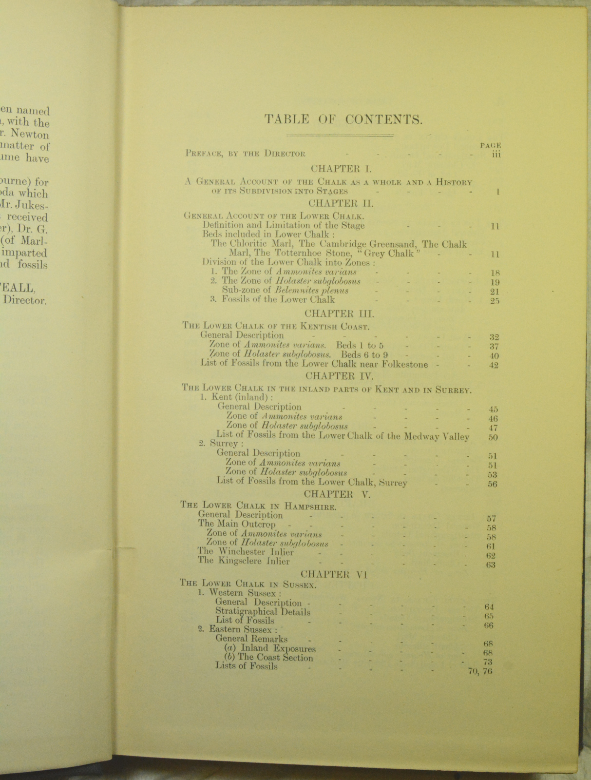
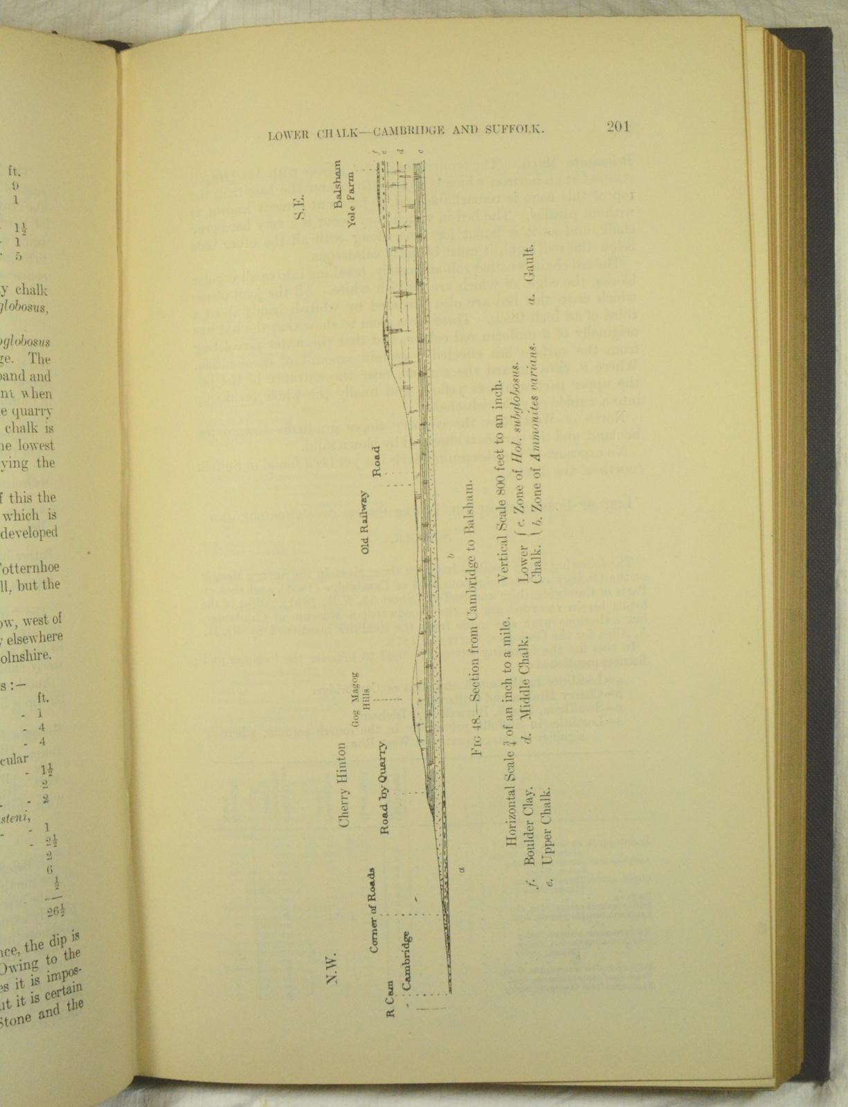
With contributions by William Hill. Folding map (showing areas occupied by the Chalk in England and adjacent areas) bound in facing title page, two other plates showing photographs of cliffs, five plates of photomicrographs of sections of Lower and Upper Cretaceous rocks bound in at end; all plates as and where called for, as well as many full-page illustrations of fossils. Original blue cloth-covered boards, gilt titles to spine, gilt motif of Geological Survey of the United Kingdom to front board, blind-stamped decoration, 568 pages. Condition: Map and all plates clean and bright. Age-toning to pages. Externally: spine strip detached along one edge, and in a very poor way, having one area of loss, crumbly and curled along detaching edge and very faded. Boards with some bumping but overall sound. Text block sound. More photographs if requested.

